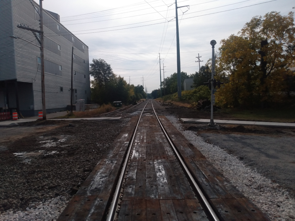
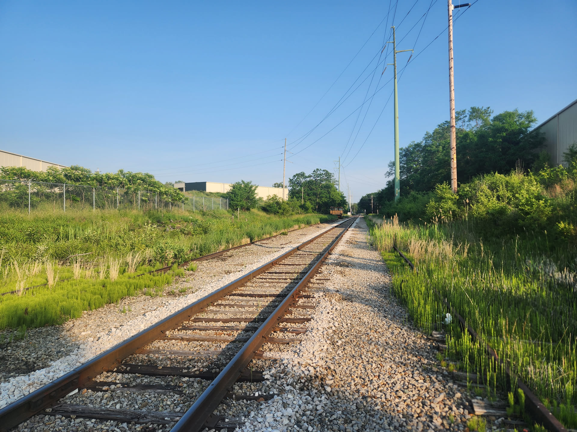
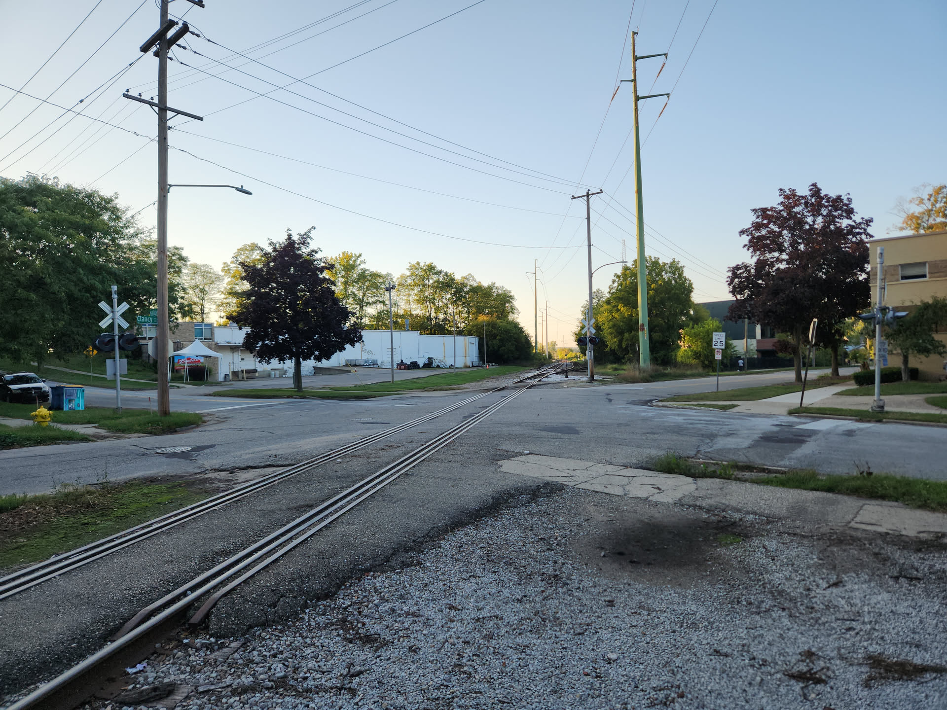
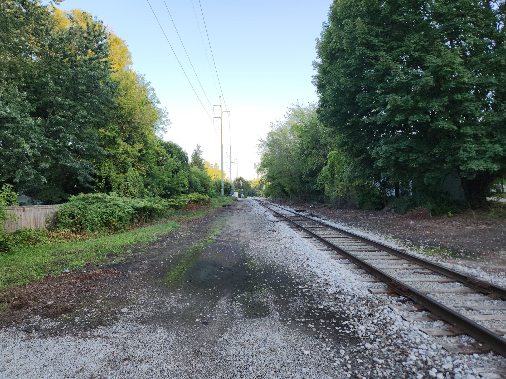
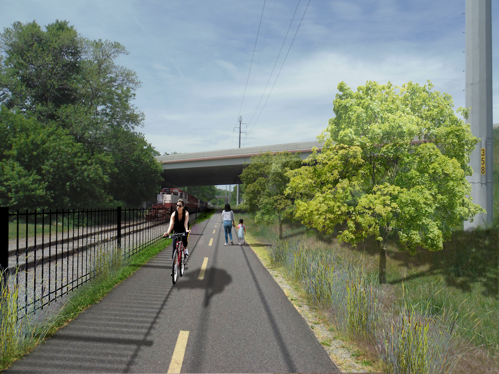
The Coldbrook Cut
The Coldbrook Cut is a project to establish a rails-and-trail linking the Grand River edge trail and the Monroe North neighborhood with the Midtown neighborhood at Grand Ave, hence this section or phase can also be known as "Grand to Grand" (River to Ave). The Grand-to-Grand section (~1.25 miles) is phase one of a larger project which would link the riverside with Ada and possibly Lowell primarily along the existing railroad right-of-way.
Would you like to be a Friend of Coldbrook Cut? Sign-up 👉here👈, to become a Friend of Coldbrook Cut and optionally receive updates on the project.
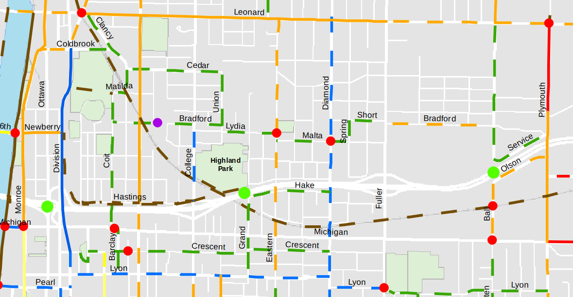
The Route (West to East)
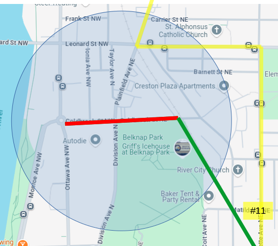
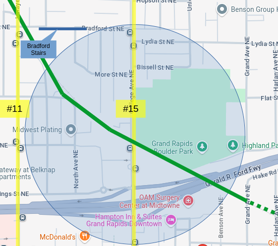
The circle in each of the following diagrams shows the "walkshed" of each point in the trail; the walkshed is generally considered to be 0.25sq/mi.
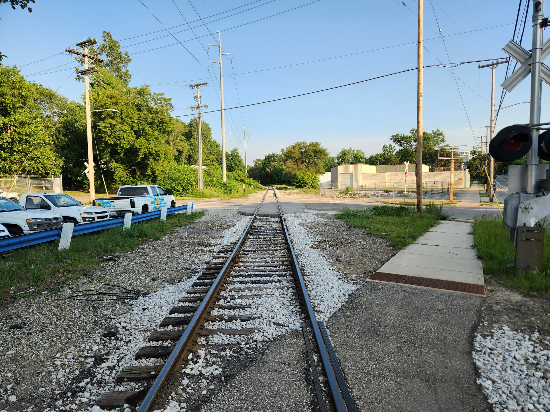
West End (The Grand River)
 |
Neighborhoods: Belknap / Monroe North The west end of the proposed route is zoned as CC (City Center) and TCC (Transitional City Center), the two zones with the highest development and residential potential. 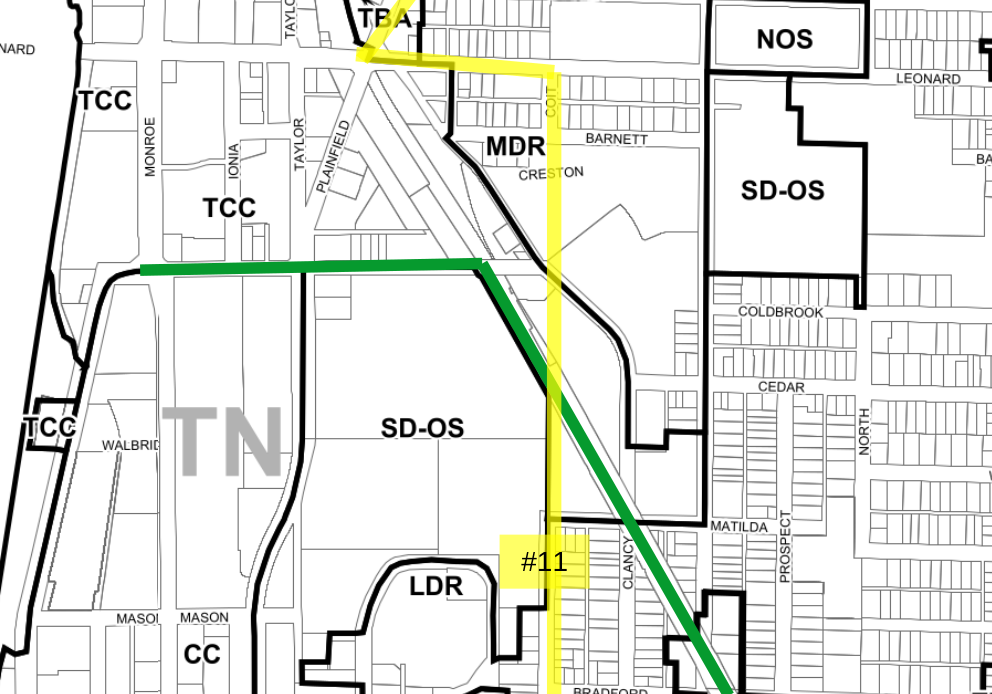
|
Lafayette
    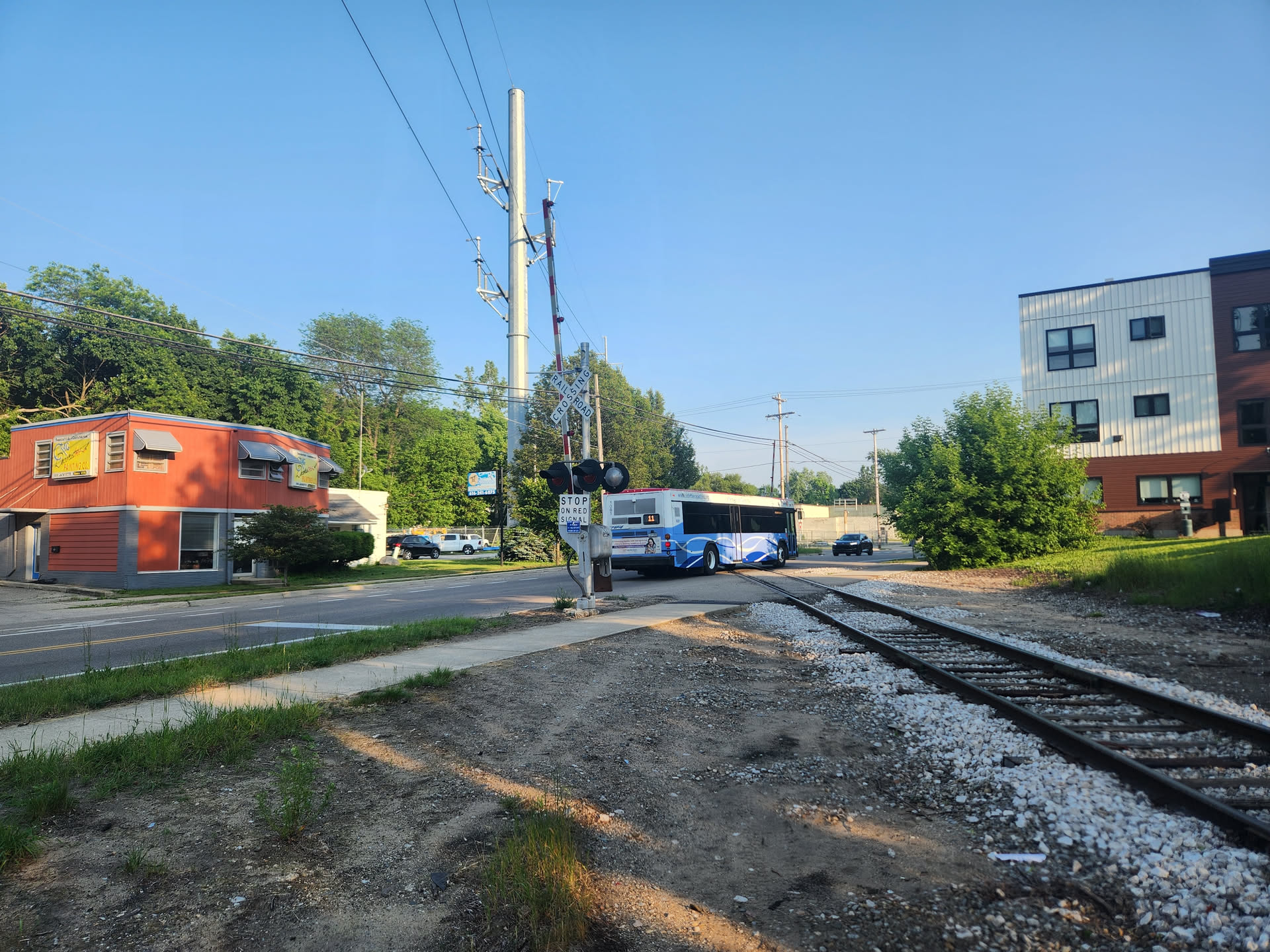  |
Neighborhoods: Belknap (NOBL) The intersection of the railroad right-of-way and Lafayette is located in a "Transitional City Center" (TCC) zone district which permits heights of up to five stories and a wide variety of uses. This is a significant development opportunity whose value would be enhanced by the connectivity provided by the trail. 
|
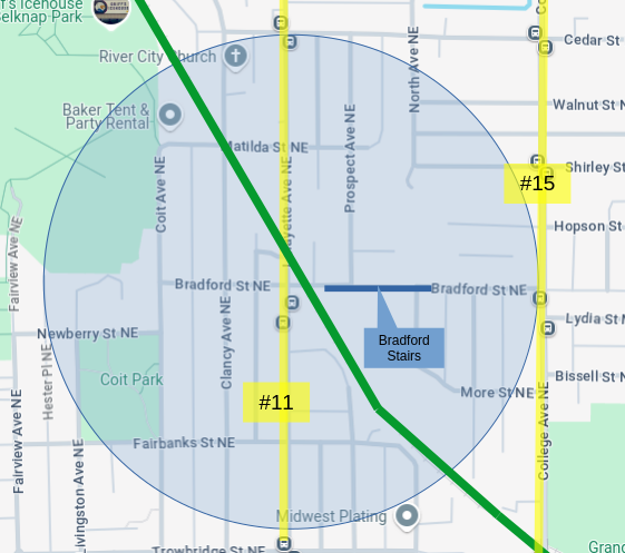
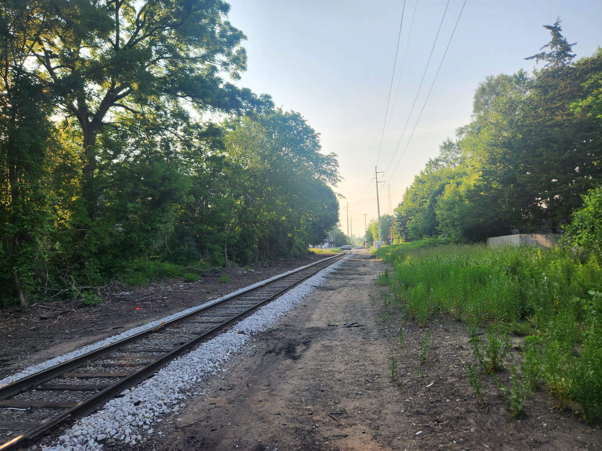
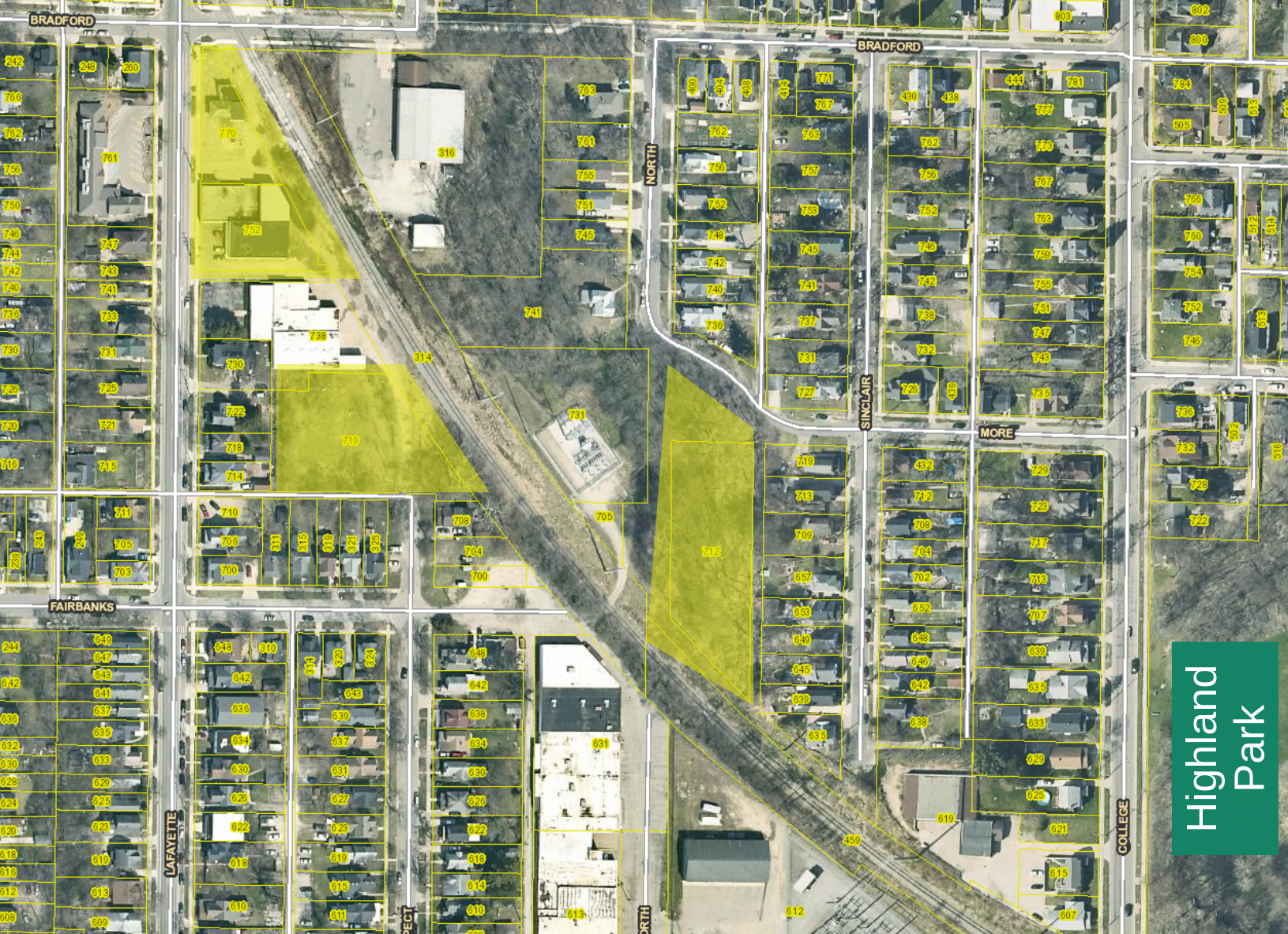
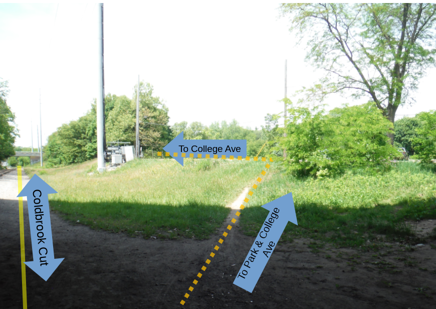
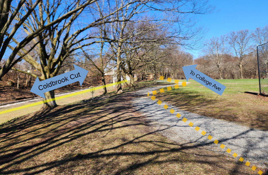
Highland Park
   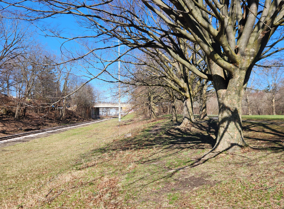 |
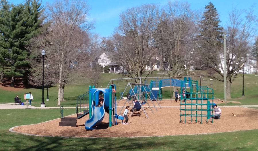
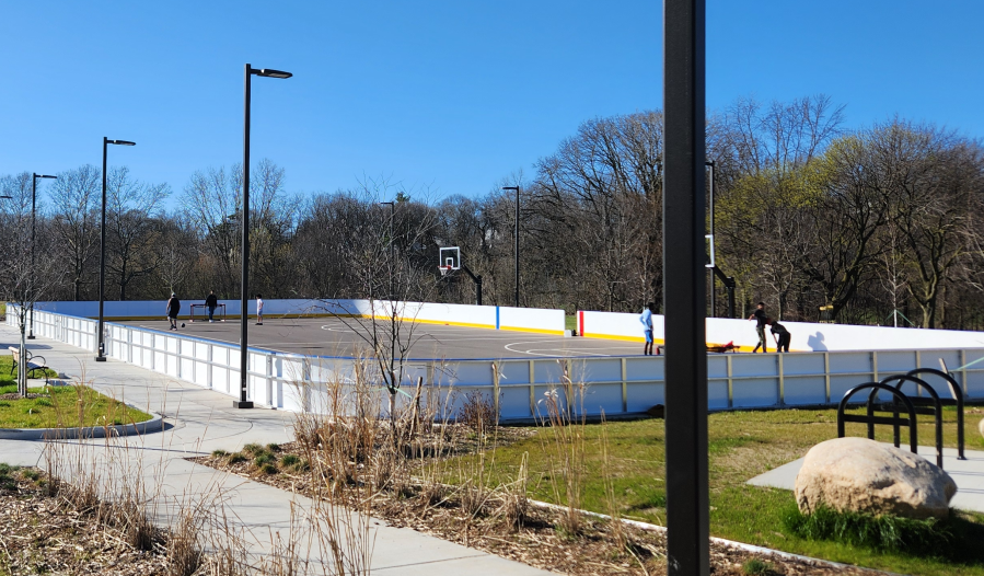
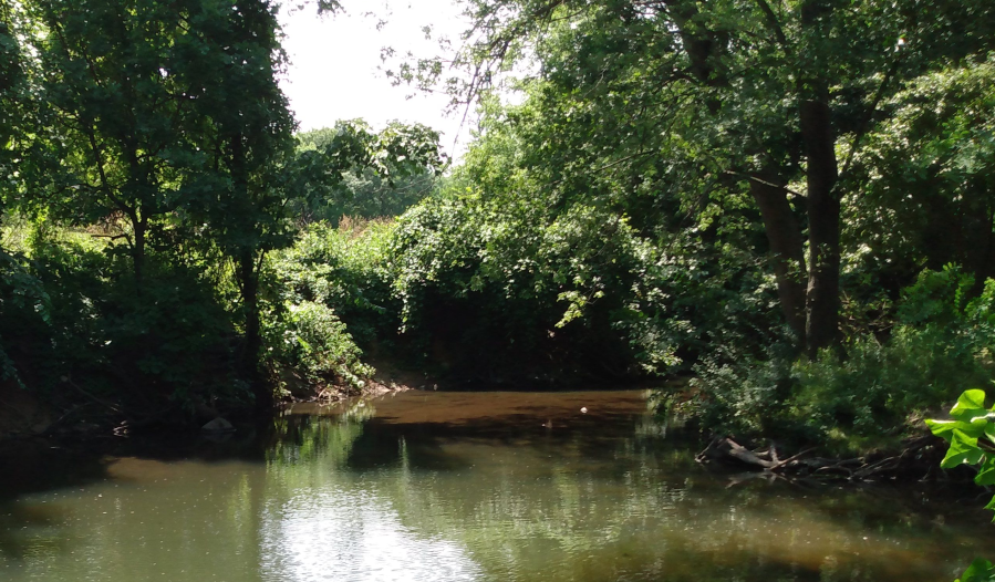
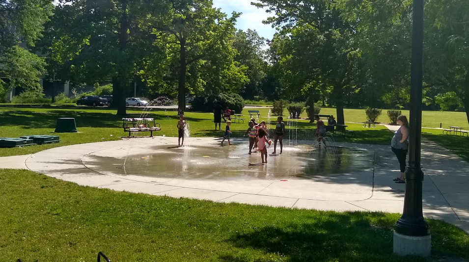
Neighborhoods: Belknap (NOBL), Highland Park The right-of-way in the eponymously named Highland Park neighborhood cuts across the southern edge of Highland Park (the park). Highland Park is a 28 acre park located less than two miles from the city center (Rosa Parks Circle) providing both open space and recreation amenities including a base ball field, disc golf course, two bike polo courts (which also provide basketball hoops), a climbing wall, playground, soccer field, and splash pads. Highland Park (the park) is the only location where Coldbrook Creek, which flows from Reeds Lake to the Grand River is still day lit; otherwise the entire course of the creek has been covered over by urban development.
| ||||||||||||||||||||||||||||

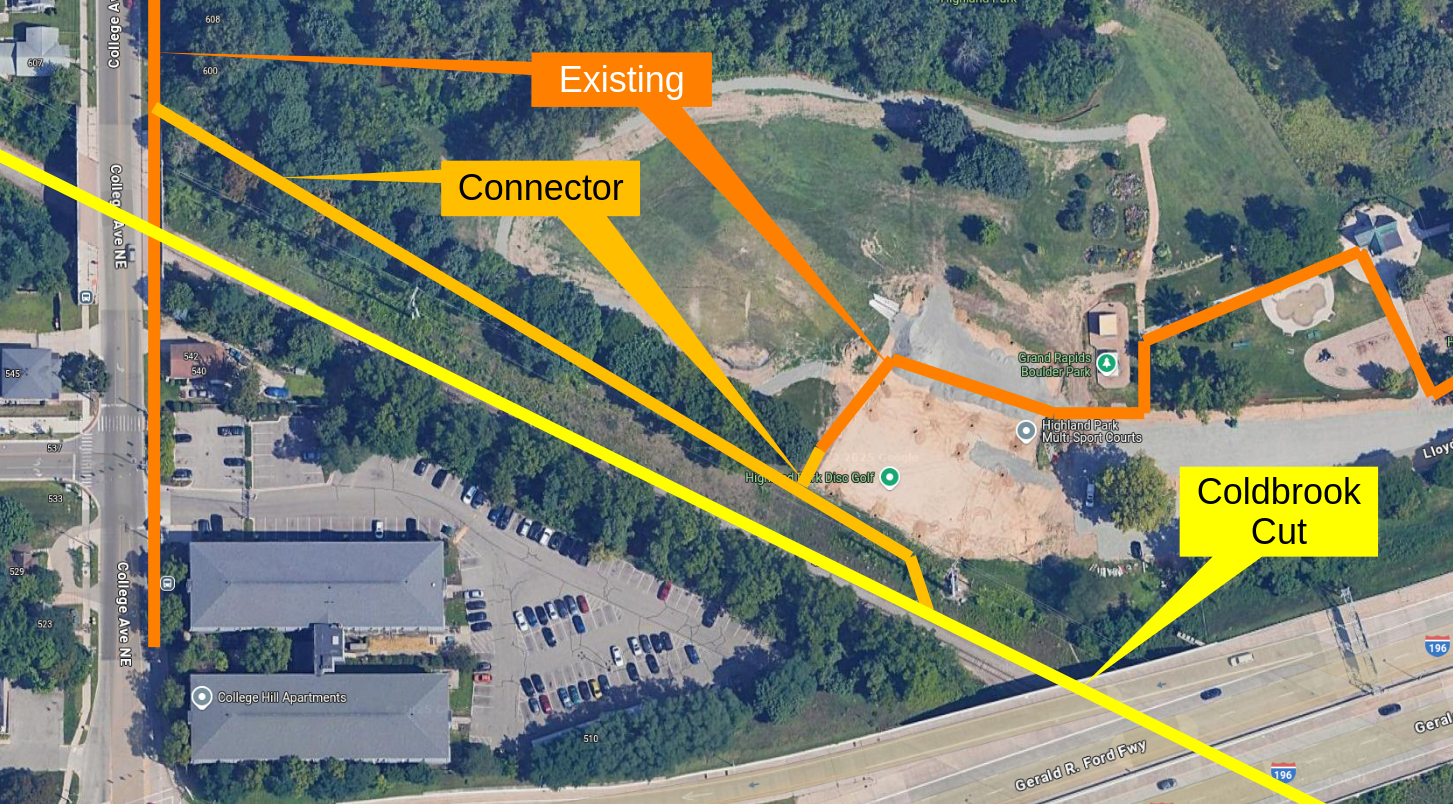
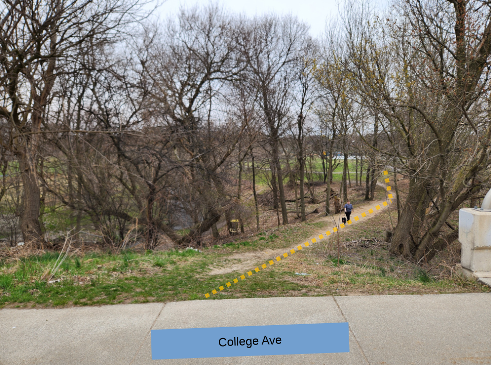
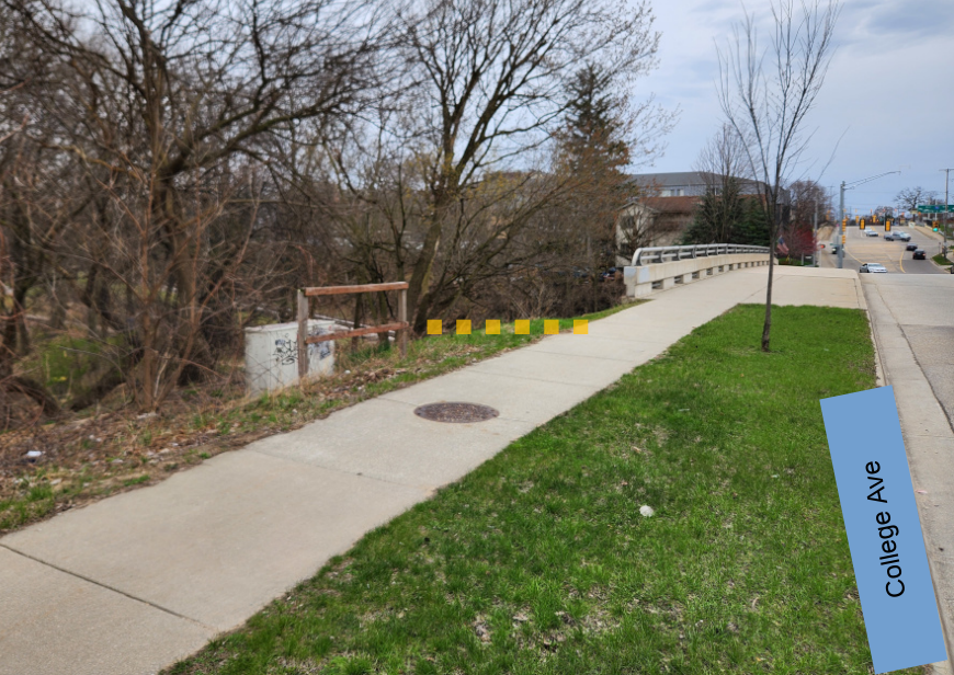
East End (Grand Ave)
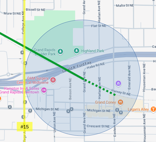 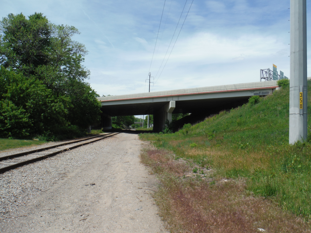 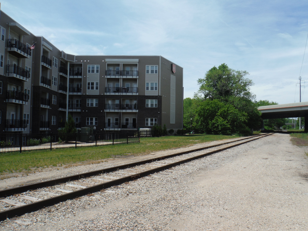  |
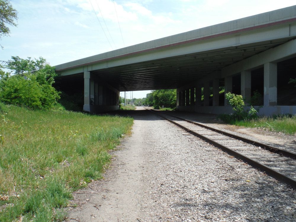
Neighborhoods: Highland Park, Midtown The east terminus of the Grand-to-Grand segment would connect the Midtown neighborhood, under the Gerald R. Ford freeway (I-196) directly to the 27.92 acres of Highland Park and the eponymously named 0.68sq/mile Highland Park neighborhood. This underpass is already a frequently used, but illegal, passage for pedestrians and cyclists. Situated within and around the walkshed is a significant amount of high-density residential as well as retail, dining, and service options. The east end of this segment of the trail would provide easy access to the park, connected neighborhoods, the river's edge, and downtown Grand Rapids to the residents of the following recent developments:
The intersection of Grand Ave and Michigan St. is within the walk-shed of three public transit routes: Rapid #6, Rapid #13, and Rapid #15. These routes provide connectivity to downtown, Creston, NECA, eastern Midtown, East Hills, Easttown, Knapp Corners, and the Woodland Mall transit node. |
The [Many] Plans
Bicycle Action Plan (City of Grand Rapids)
The Coldbrook Cut is included in the City of Grand Rapids' Bicycle Action Plan on page 68. In this map the route is identified as an "Off-Street Multi-Use Trail/Sidepath". The Grand Rapids Bicycle Action Plan was adopted by the City Commission on July 23rd of 2019. This plan was in response to the City Commission's question: "where bicycling facilities should be built and improved".
GR Foward
Goal #1 : Restore the river as the draw & create a connected and equitable river corridor
- Goal #1.3 : Establish Grand Rapids as the hub in a regional trail system with universal access along the river on both the east and west sides
Goal #1.4 : Enhance neighborhood access to the river
Connecting neighborhoods to the Grand River establishes the need to reconsider critical east-west streets as not just traffic arteries but as cultural and environmental corridors that extend the presence of the River into the City. These east-west corridors include Ann, Sweet/ Richmond, Leonard, 6th, Bridge/Michigan, Pearl/Lake Michigan, Fulton and Wealthy. Each is an opportunity for improvements that express and enhance their best features and provide clear pathways to the River.
Goal#3 : Implement a 21st century mobility strategy
- Goal #3.1 : Provide a stress-free pedestrian experience for all ages and abilities
- Goal #3.3 : Complete the networks in and out of downtown
See all the documents related to the GR Forward (2015) here.
GVMC 2024 Active Transportation Plan
This plan is an element of the GVMC 2050 Master Plan. The Coldbrook Cut is included in nonmotorized item #1607 (pg. 63) as "East‐West Rail‐with‐Trail ‐ Grand Rapids Segment" as an "Off-Street Shared Use Path". The GVMC Active Transportation Plan describes project #1607 as "Construction of a new rail‐with‐trail that parallels significant sections of the Michigan St corridor and I‐196. Intersection crossing, signage, markings" with an estimated cost of $2,247,700.
The Grand Valley Metropolitan Council is a federally designated MPO (Metropolitan Planning Organization) overseeing all of Kent county and five communities in Ottawa county (Allendale, Tallmadge, Georgetown, and Jamestown Townships, and the City of Hudsonville). In this role they maintain the regional transportation plans for all modes of transportation.
The Coldbrook Cut can also be found in GVMC's online GIS application on the "Nonmotorized Facilities Finder".
Michigan Street Corridor Plan (City of Grand Rapids)
The Michigan Street Corridor Plan, adopted in 2015, proposes a greenway "alongside the rail corridor that would connect the Michigan Street Corridor to Muskegon and Lowell. The rail corridor tunnels underneath the East Beltline and the I-196 Freeway. This greenway could become a bike freeway and serve as a regional connector for individuals given its linkage to surrounding communities." (pg. 78).
Parks Master Plan (City of Grand Rapids)
The 2022 update of the City of Grand Rapid's Parks Master plan, under the goal of "Create programs and projects that ensure the park and recreation supports the physical, mental, and emotional well-being of all Grand Rapidians", includes Coldbrook within Objective #4: "Evaluate design and cost feasibility of a rail trail within the right-of-way of the active Grand Rapids Eastern (GRE) Railroad." (pg.62). This is the rail right-of-way between the river's edge, through Belknap, Highland Park, and into Midtown.
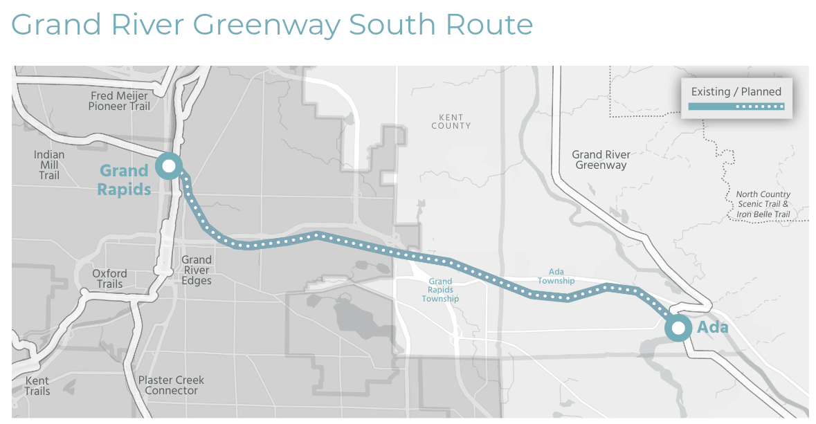
West Michigan Regional Master Plan
Page 82 of the West Michigan Regional Master Trails Plan includes the Coldbrook Cut as part of the "Grand River Greenway South Route". This plan was developed in 2023 by the West Michigan Trails & Greenways Coalition as a master plan for trails and wayfinding in the West Michgian region.